


⚠️ The children arrived this morning to a shocking sight… the chairs had gone on strike! 🚫🪑 Wrapped in caution tape, they had had enough of children putting their feet on them and forgetting to tuck them in. ⚠️
To convince the chairs to return, the children had to write persuasive letters explaining why they deserved a second chance and promising to treat the chairs with respect.
The children worked incredibly hard, using persuasive language, strong arguments and thoughtful sentence structure.
Their letters were absolutely fantastic, and we’re pleased to report that the chairs have agreed to come back! 🪑✨
#bringinglearningtolife #creativewriting #keystageonewriting
Crackling fire, toasted marshmallows and memories in the making. Forest School magic at its finest today. 🔥🌲✨
#forestschool #primaryeducation
Crackling fire, toasted marshmallows and memories in the making. Forest School magic at its finest today. 🔥🌲✨
#forestschool #primaryeducation
✨Who do you see? Looking closely at ourselves. Observing, noticing and creating. ✨
Our youngest artists have been creating self-portraits using mirrors, carefully observing shape, colour and proportion. 🎨🪞
✨Who do you see? Looking closely at ourselves. Observing, noticing and creating. ✨
Our youngest artists have been creating self-portraits using mirrors, carefully observing shape, colour and proportion. 🎨🪞
🐉✨ Bringing Dragons to Life ✨🐉
Last week in English, children explored how authors use expanded noun phrases to make descriptions more precise and vivid. 📚✍️
Using The Boy Who Grew Dragons, the children worked together to build exciting descriptions step by step:
🐲 a dragon
🔥 a fierce dragon
🌟 a fierce, fire-breathing dragon
💎 a fierce, fire-breathing dragon with shimmering, opal-coloured scales
We discussed how carefully chosen adjectives and prepositional phrases can help the reader picture a character clearly in their imagination. The children challenged themselves to “upgrade” weak vocabulary choices and explain why certain words were more effective than others. 💭
There was some fantastic vocabulary, thoughtful discussion and brilliant sentence construction throughout the lesson. We definitely brought our dragons to life today! 👏🐉
#PrimaryEnglish #ExpandedNounPhrases #TheBoyWhoGrewDragons #WritingLesson #vocabularymatters
🌳🦍 Go Ape! 🦍🌳
A fantastic day of adventure, teamwork and confidence building!
Pupils enjoyed the Baboonzled team games, tackled three treetop courses, and flew down lots of zip wires. It was wonderful to see everyone encouraging each other, stepping outside their comfort zones and having so much fun. ☀️🌟
#schooltrip #goape #wittonpark
📚✨ Take a look at some of our children’s favourite books! ✨📚
From magical adventures and laugh-out-loud stories to inspiring tales and timeless classics, our children love getting lost in a good book. 🌟📖
Reading opens up new worlds, sparks imagination, and helps children develop a lifelong love of learning. ❤️📚
What was your favourite book as a child? Let us know in the comments! 👇✨
#MoorlandJuniors #LoveOfReading #BookLovers #ReadingForPleasure #SchoolLife 📚🌈
🐚 🐠 MOORLAND SUMMER FAYRE 🐠🐚
Join us for an afternoon of family fun at our annual PTA Summer Fayre!
📅 Friday 12th June
🕒 3pm onwards
✨ Under the Sea Fancy Dress Competition
🏰 Bouncy Castle
🎨 Face Painting
🎟️ Tombolas
🎤 Live Entertainment
🍕 Amico Mio’s Pizza Van
We would love to welcome all Moorland Nursery & Junior School parents and families for an afternoon of fun.
Who will be crowned our best dressed sea character? Will it be a mermaid, crab, shark or pirate?🏴☠️ 🐙🐢🐠
#MoorlandNursery #MoorlandJuniors #SummerFayre #UnderTheSea #SchoolCommunity
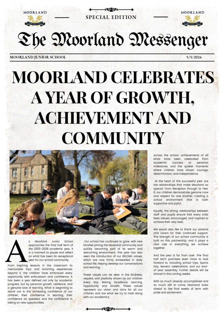
A look back at a wonderful May! 🌟
What a month it has been at Moorland Junior School, filled with learning, trips, curriculum adventures, creativity, friendship and plenty of memorable moments.
Now that June is here, we’re excited for a busy and enjoyable final half term, making the most of every opportunity and creating lasting memories before the summer holidays. ☀️✨
#MoorlandJuniors #MayRecap #SchoolLife #LearningTogether #Clitheroe